

Building on the retail store location analysis this case study focuses on catchment areas of stores.
Let’s take a look athow to establish a store location that has access to more customers than itsdirect competitor.
Buildingthe Analytics Pipeline
Context
- A high street store is looking to open anotherstore.
- The current store is currently competing forcustomers with a rival store. Their catchment areas overlap.
- Customers will only visit the store which isclosest to their postcode by travel time.
- A new store would ideally gain new customersfrom postcodes that haven’t had access to any store yet as well es poachexisting customers from a competitor.
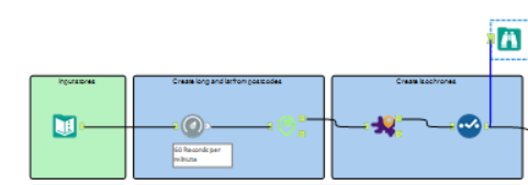
Alteryx – create isochrones
- Use the Geocoder macro to generate longitude and latitude from store postcodes.
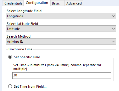
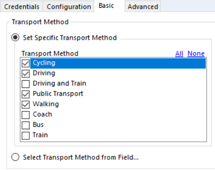
- Specify travel times and modes of transport with the Isochrones macro.
Customer profiles
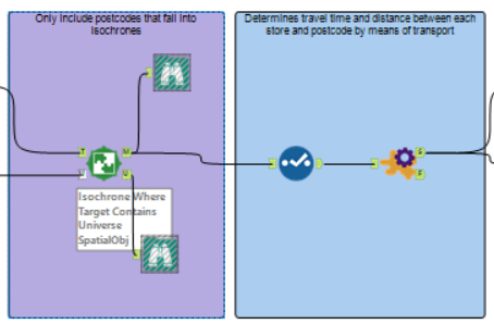
- Input surrounding postcodes and use the spatialmatch tool to combine isochrones and postcode data.
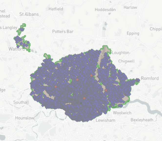
- We are only working with postcodes that fallinto a catchment area.
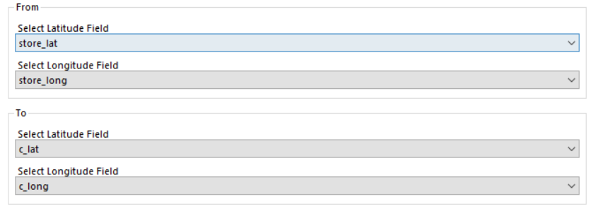
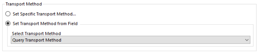
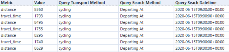
Finally, we’re using the Travel Time Matrix macro to determine the travel time between each store and postcode by transport method.
Tableau
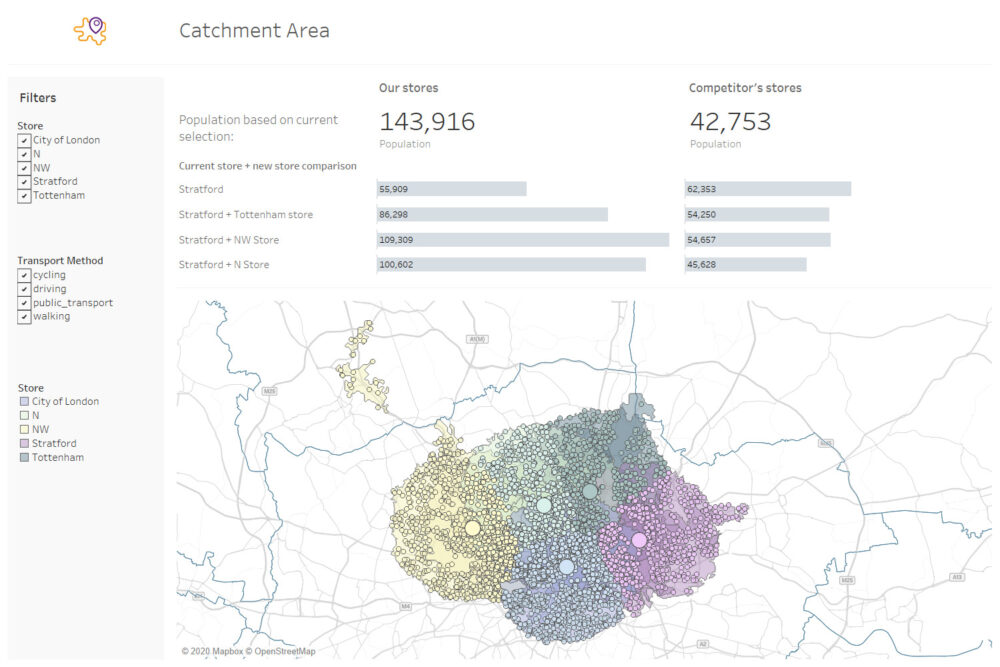
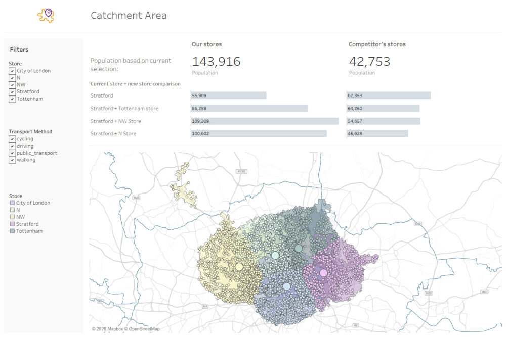
The Alteryx output contains postcodes that fall intoisochrones of several stores. We can use Tableau to dynamically allocate apostcode to the nearest store.
Our current store is based in Stratford while the competitor has a location in the City of London. By adding our potential new store locations (Tottenham, NW, N) we can determine how many customers we can reach with each new location.
This analysis uses TravelTime, an API and set of macros that let users search and analyse location data using minutes instead of miles. Find out more here.